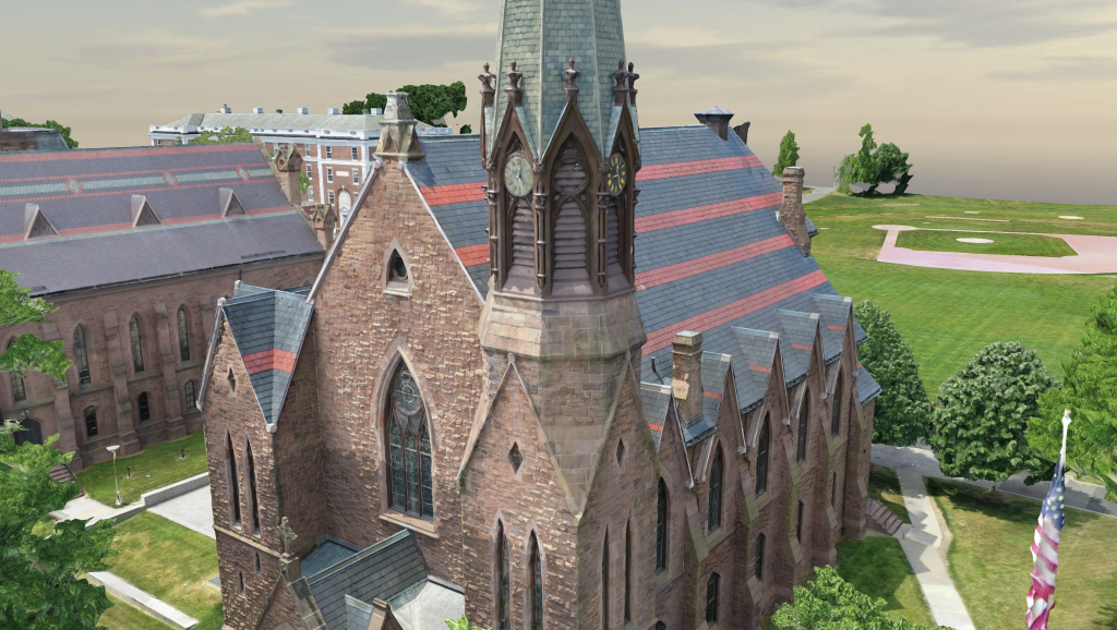
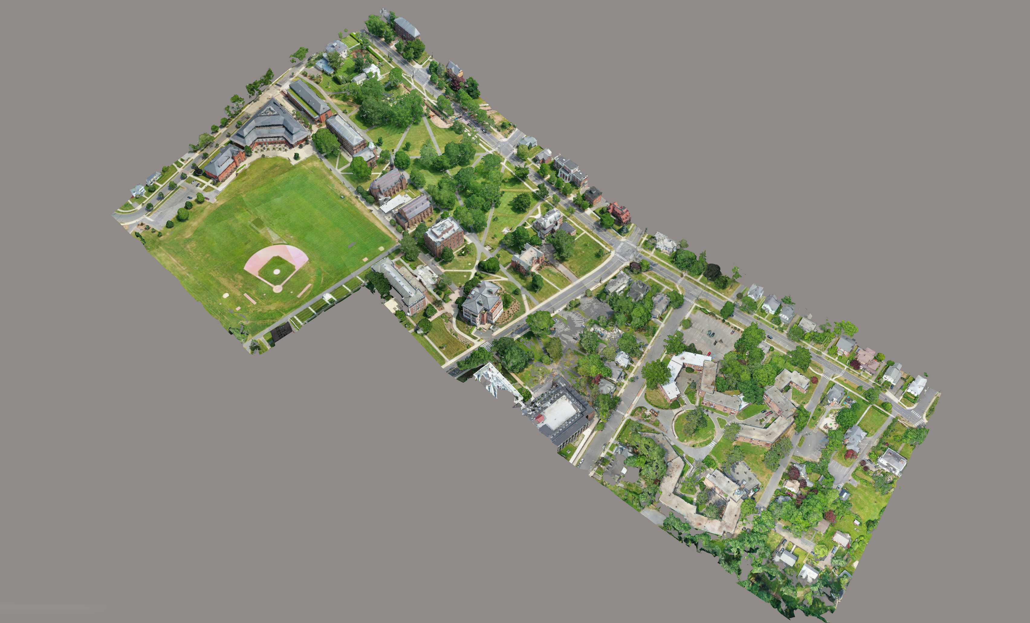
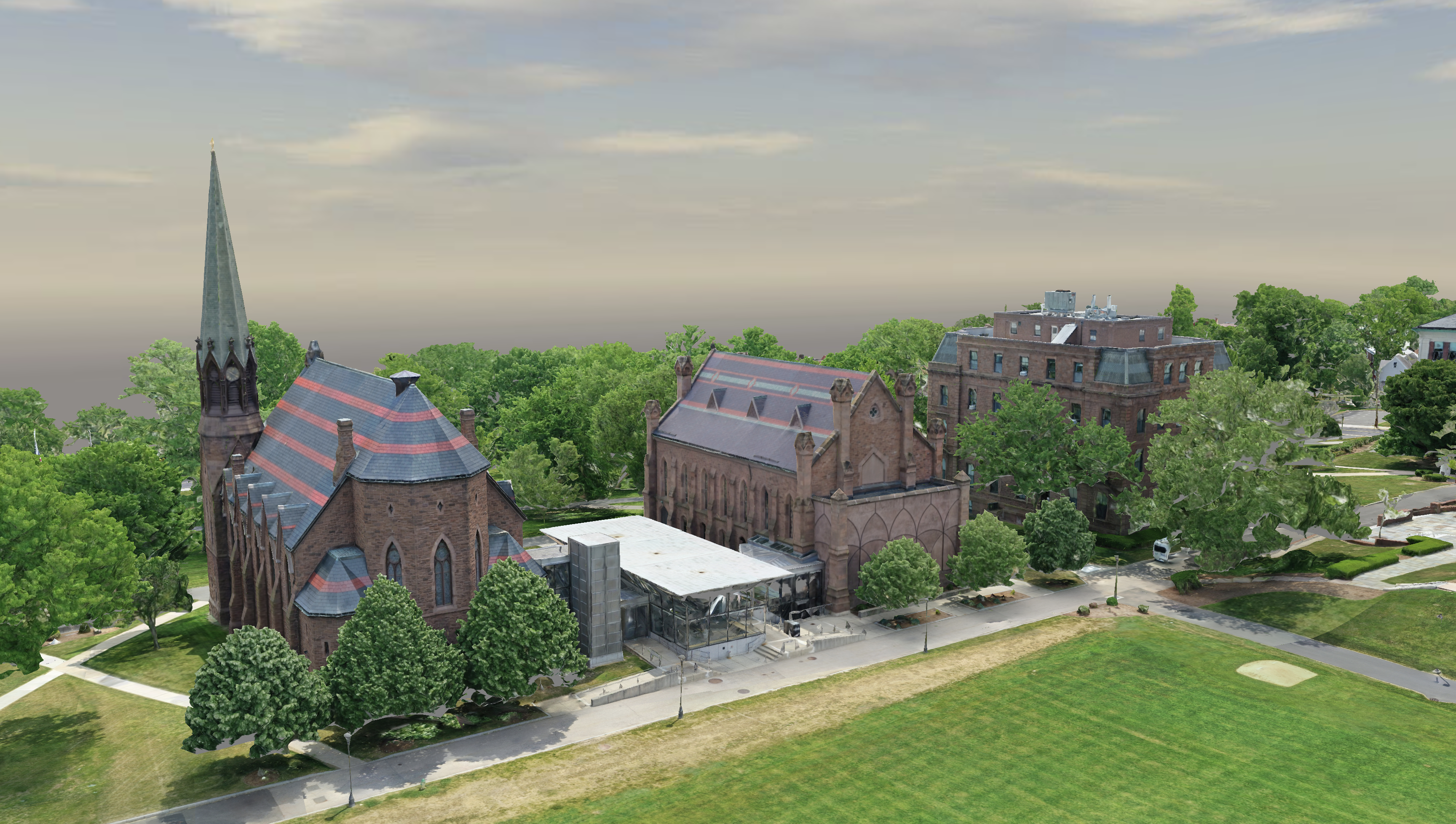
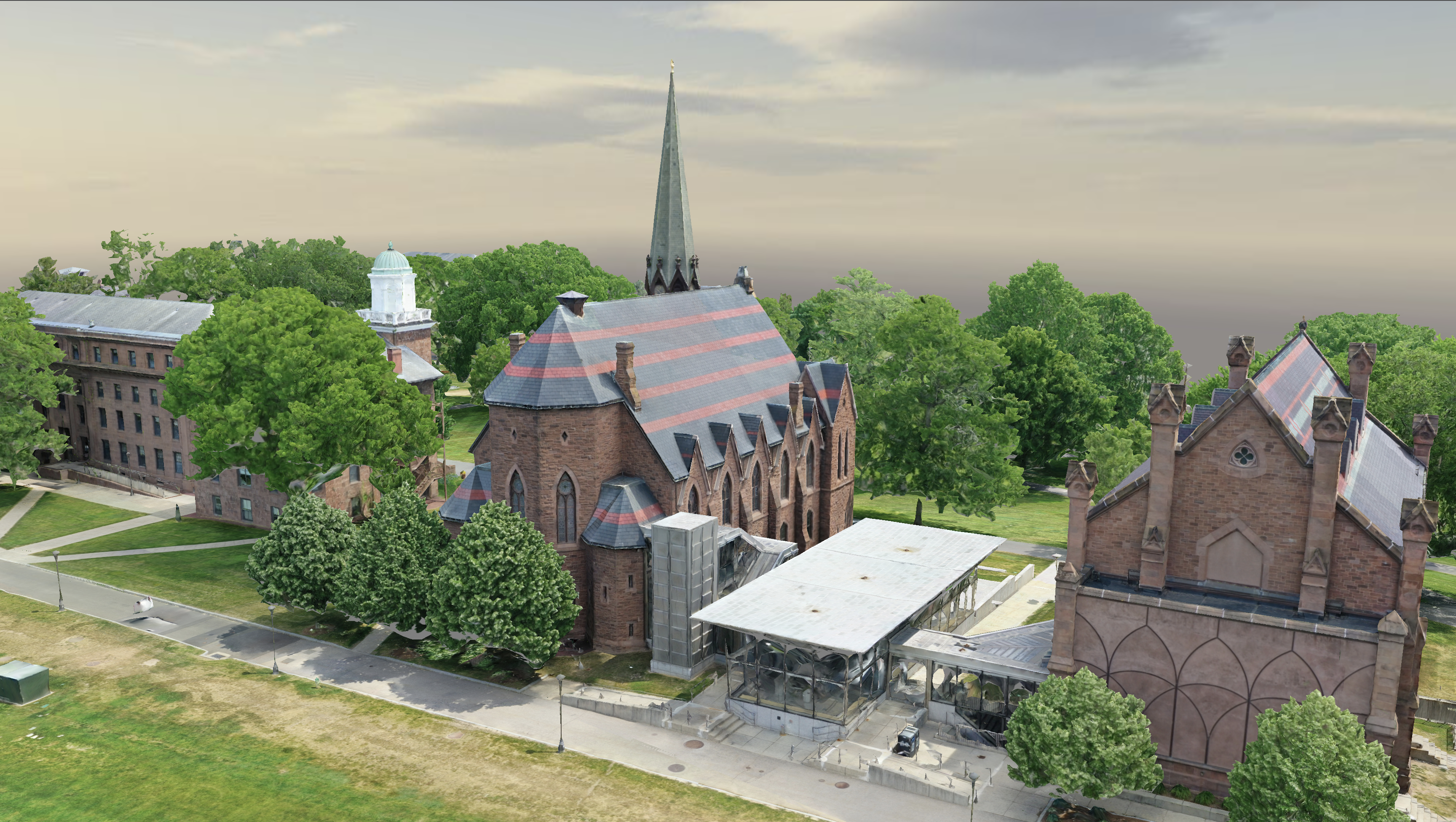
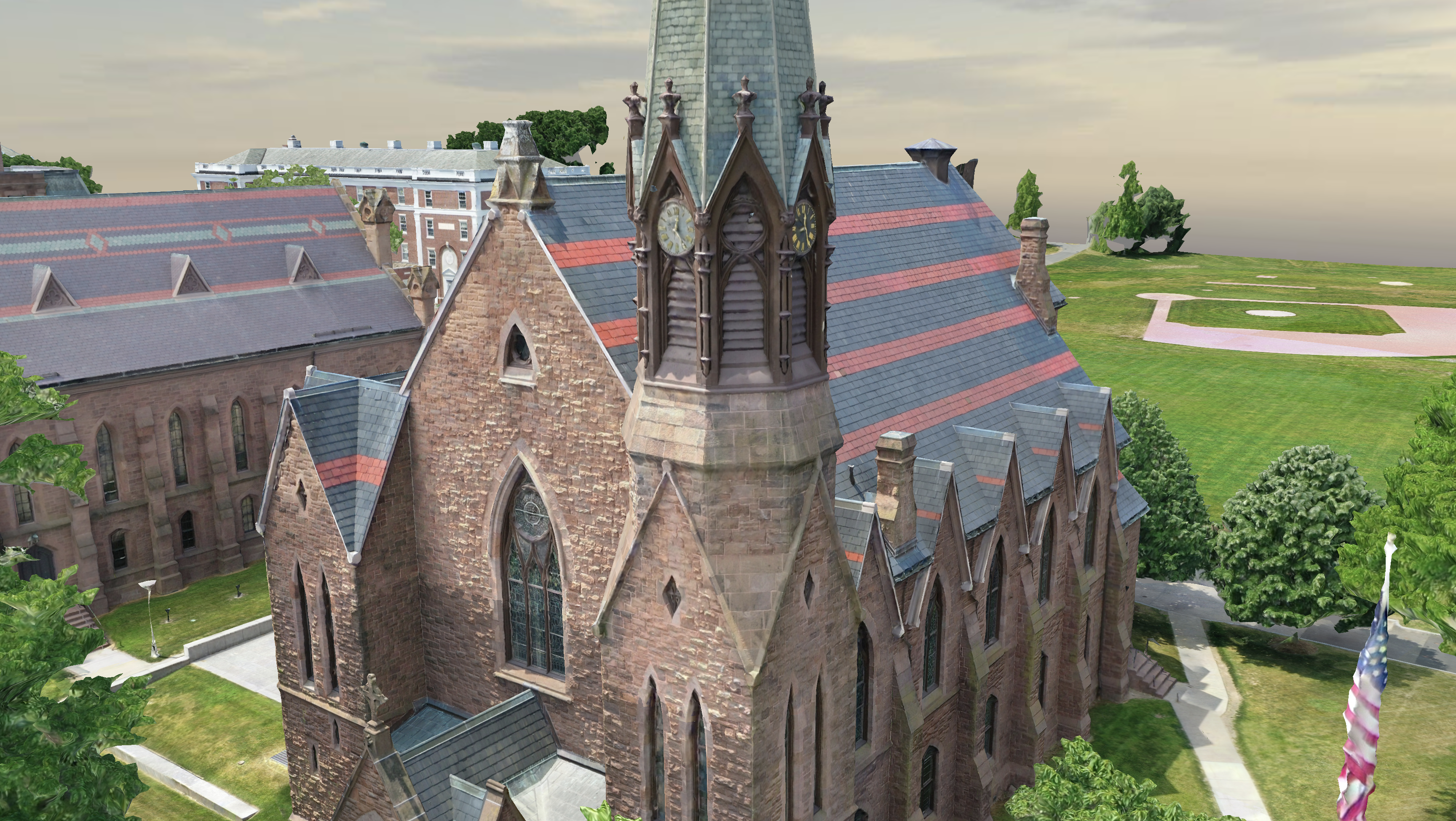
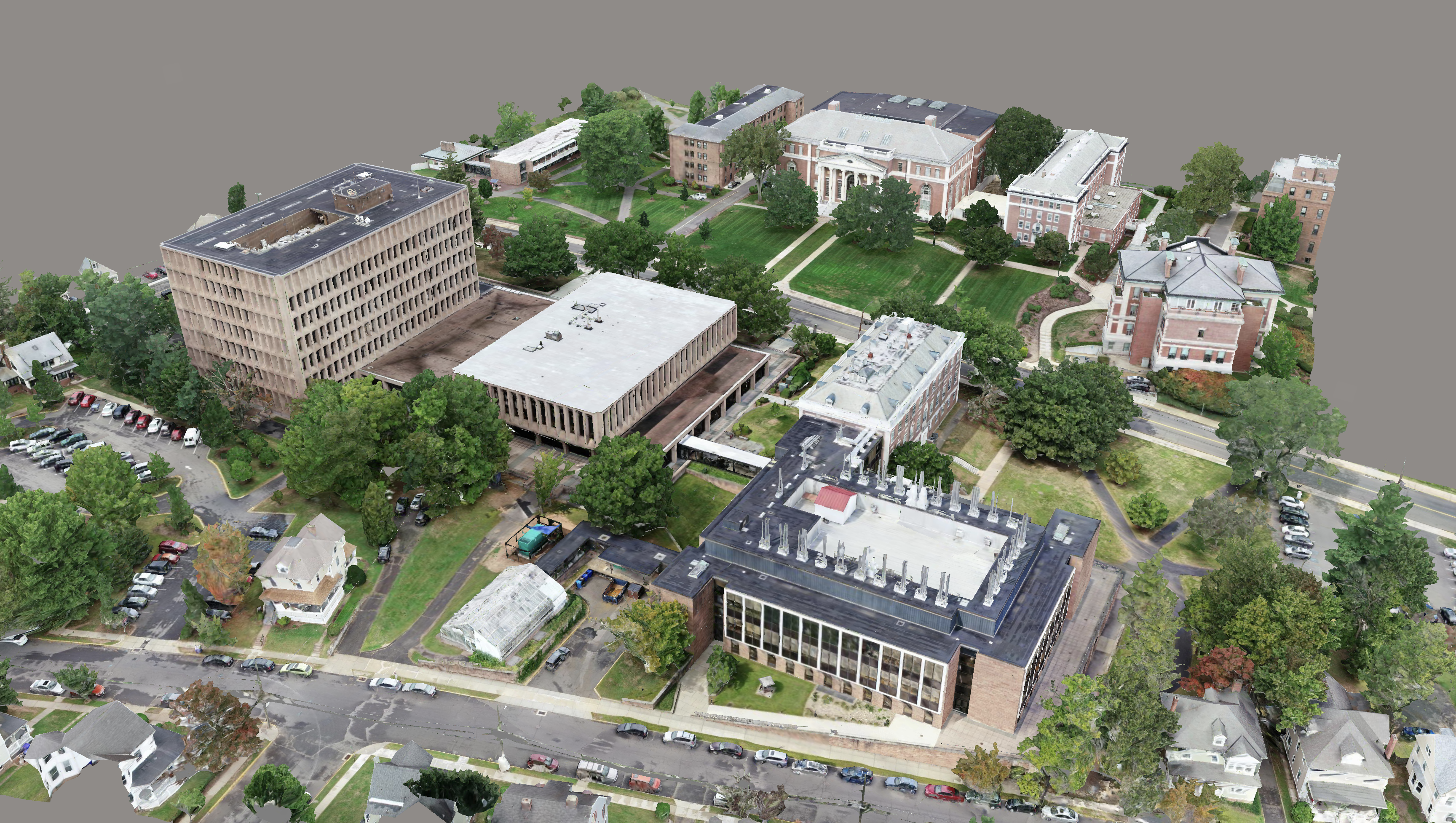
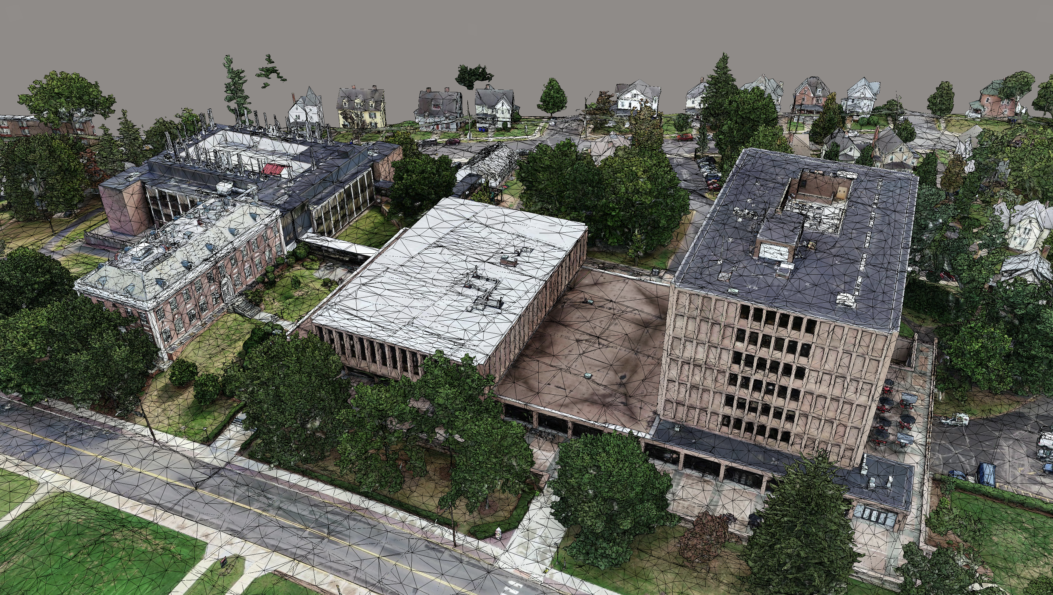
Bimstream mapped and flew Wesleyan University for Payette in support of the new buildings and campus infrastructure. This was our second full aerial capture for Wesleyan. We’ve perfected the mission planning to capture every element of a site and building.
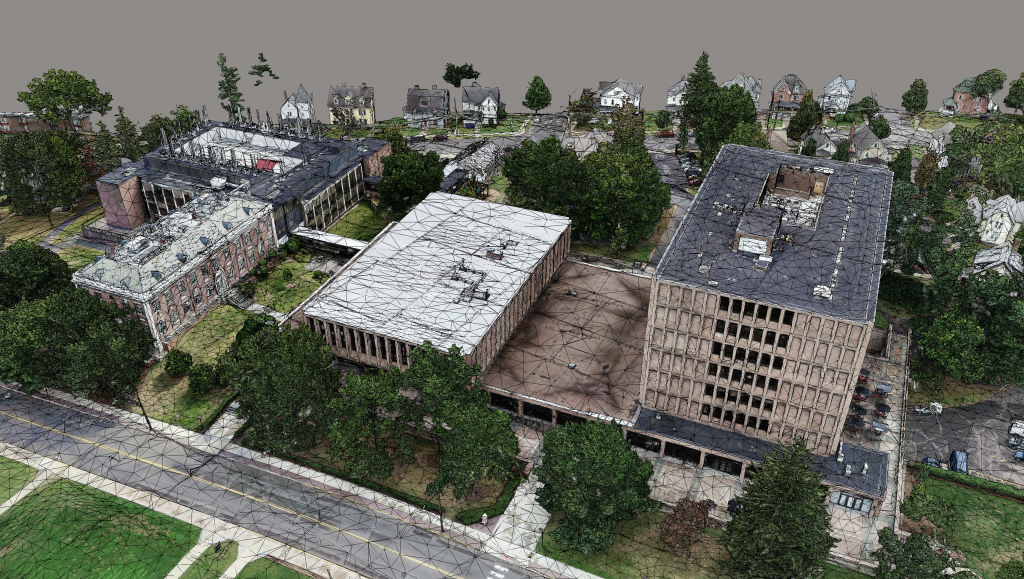
We delivered a browser-based version of the reality mesh along with both SketchUp and Rhino based mesh models. These models are imported directly into Enscape and other VR solutions for visualization. At BIMstream, we’ve eliminated the typical SketchUp industry within architectural firms. Instead of building SketchUp geometry-based versions of campuses, we deliver the reality mesh which is civil-grade accurate and geo-located. This enables applications like Enscape to leverage sun location and study capabilities.


