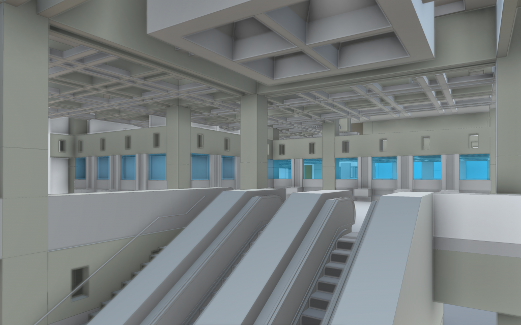
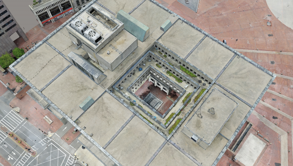
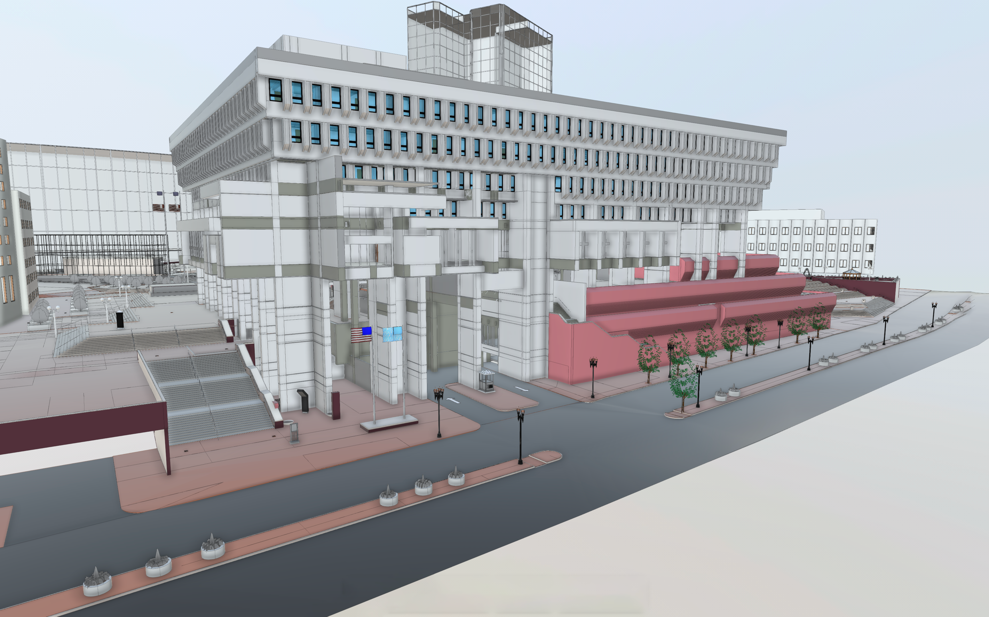
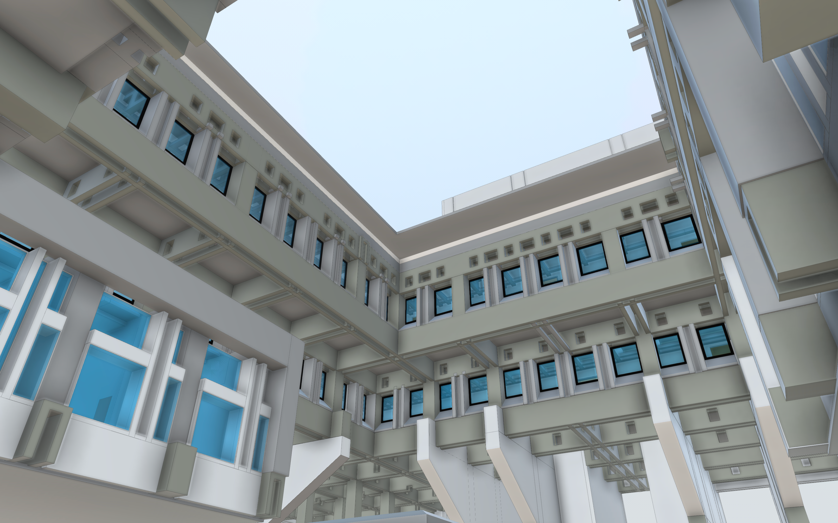
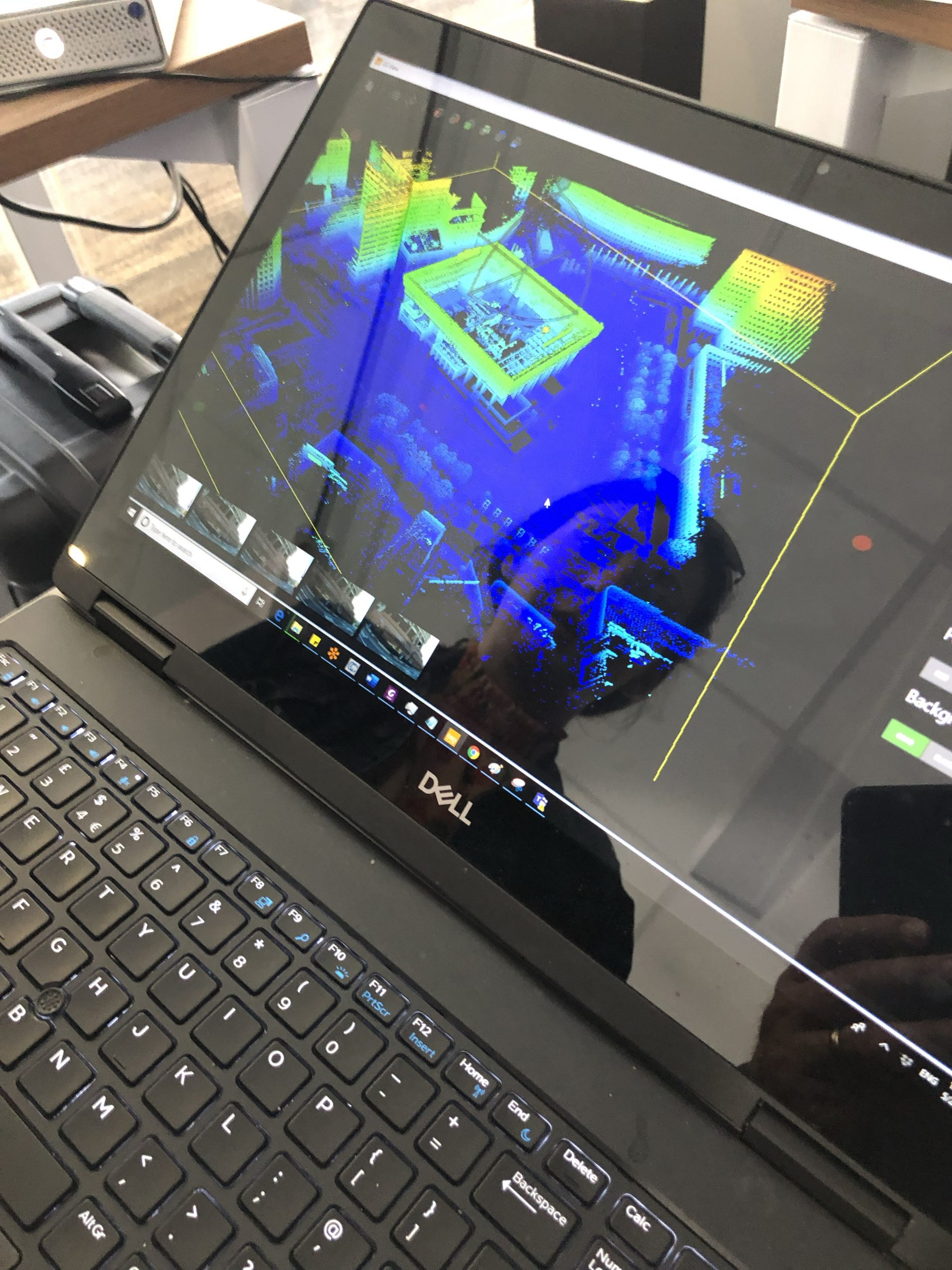
BIMstream scanned, mapped, flew, and modeled Boston City Hall for the City of Boston and Sasaki in support of the new Plaza and entrance renovations.
We used a combination of Leica terrestrial scanners and GeoSLAM mobile LiDAR scanners. We focused our interior capture after hours, hitting every square inch of City Hall (not a single space was ignored). Due to the efficiency of the GeoSLAM sensors, we completed the interior scan in four five-hour evenings. We received FAA clearance to fly the site, collecting one thousand high-resolution drone images, which were processed into a reality model.


